Crossing Canada isn’t a simple road trip; it’s a logistical operation that punishes the unprepared. The romantic notion of the open road quickly evaporates in Northern Ontario or the Prairies where fuel can be 200km apart and your GPS is a liar. The key to survival isn’t just a full tank of gas, but adopting a trucker’s logistical headspace: mastering the half-tank rule, respecting the environmental warfare of weather and wildlife, and always having an analog backup for when the digital world disappears.
Everyone’s seen the pictures: a ribbon of asphalt winding through majestic Rockies or along the shores of a Great Lake. The idea of a cross-Canada drive is baked into our national identity. You load up the car, create a playlist, and figure you’ll just use Google Maps to find gas and a motel. That’s the first, and potentially last, mistake you’ll make. The advice you get is always the same—plan your route, take breaks, watch out for animals. It’s surface-level fluff that won’t help you when you’re staring at a fuel gauge hovering on empty with the next known station 150 kilometers away.
But what if the real key to conquering the Trans-Canada Highway isn’t about the destination, but about mastering the brutal, beautiful emptiness in between? This isn’t a vacation; it’s an exercise in resource management. For years, I hauled freight from St. John’s to Victoria. I learned the hard way that the highway has its own rules, and they are not suggestions. It’s a system of fuel calculations, fatigue management, and strategic respect for an environment that can be actively hostile.
This guide isn’t about the best photo ops. It’s about the operational logic you need to get from one end of this country to the other without calling for a tow. We’re going to break down the real-world challenges—from the hypnotic pull of the prairies to the digital ghost zones of the backcountry—and give you the logistical framework to handle them.
This article breaks down the essential logistical knowledge needed to navigate the country’s most challenging stretches. You’ll find a structured guide to everything from vehicle preparation to managing the unique psychological and environmental hazards you’ll face on the road.
Summary: A Logistical Guide to the Trans-Canada Highway
- Why does “highway hypnosis” strike on the Prairie straightaways?
- How to prepare your car for a 5,000 km trip across changing climates?
- East Coast curves or West Coast vistas: which drive demands more driver skill?
- The moose collision risk that locals know but tourists ignore
- When to drive the Coquihalla to avoid the worst winter closures?
- Why does your GPS fail you in 80% of the Canadian backcountry?
- The storage mistake that melts your cheese haul in a hot car trunk
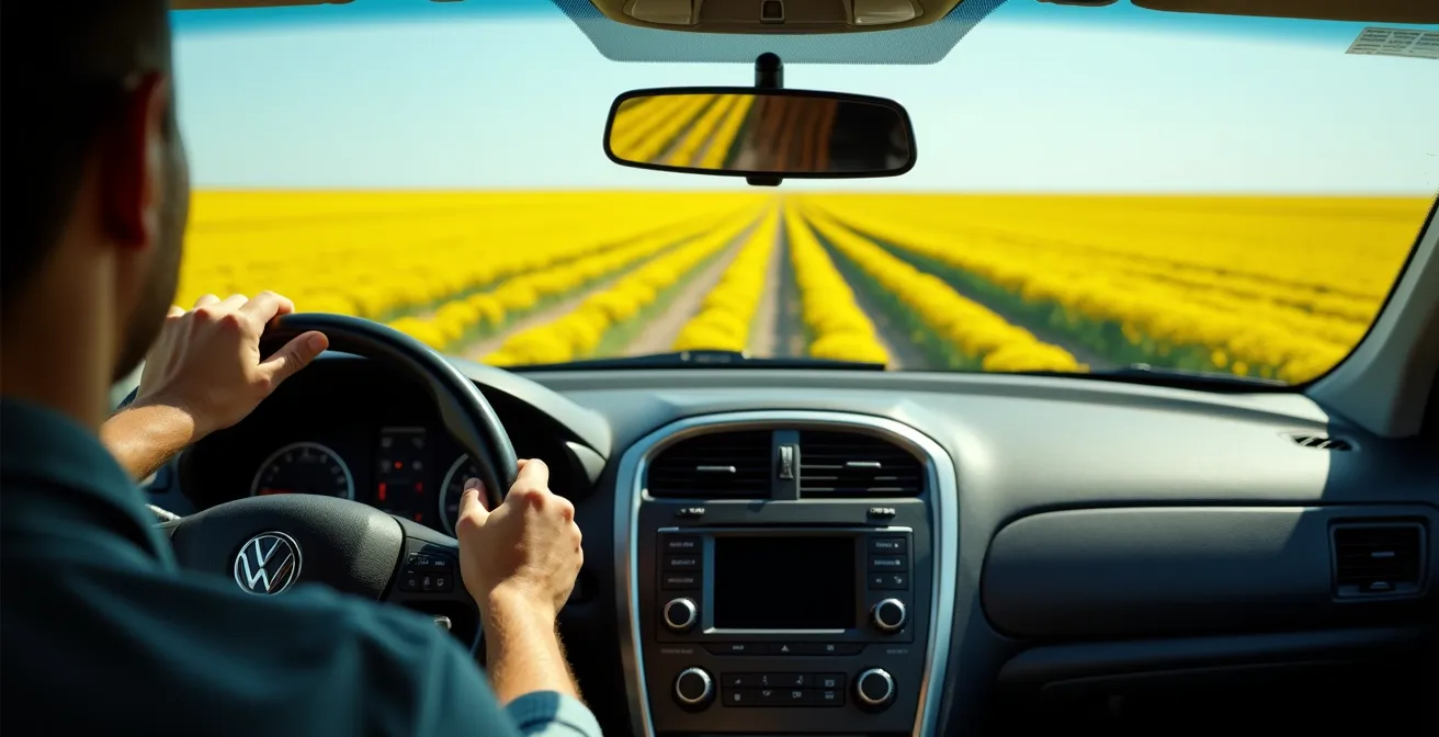
- How to drive across Saskatchewan’s prairies without succumbing to boredom?
Why does “highway hypnosis” strike on the Prairie straightaways?
Highway hypnosis isn’t just feeling a bit tired. On the prairies, it’s an operational hazard as real as black ice. The phenomenon is a trance-like state induced by monotony. For hours on end, the only inputs your brain receives are the dead-straight line of the highway, the endless, flat horizon, and the rhythmic drone of your engine. Your brain, starved of new stimuli, starts to disengage. Your focus narrows, your reaction time plummets, and you can drive for kilometers without any real memory of it. It’s most dangerous when the landscape itself becomes a repeating pattern, like the endless fields of golden canola.
This is where tourists get into trouble. They think a coffee and a loud radio are enough. For a trucker, fighting hypnosis is a drilled-in procedure. It’s about actively breaking the monotony. This means treating your senses to a constant stream of new information. Scan your mirrors, check the gauges, read every road sign, even if you know what it says. The goal is to keep your brain working, not just passively observing. Lowering the cabin temperature is another old-school trick; the slight discomfort of cold air is a powerful tool against drowsiness.
Ultimately, the only guaranteed countermeasure is stopping. Even a five-minute break to walk around the car resets your brain. Don’t wait until you feel tired; by then, it’s too late. Make pre-planned stops a non-negotiable part of your schedule. Engaging with the small prairie towns isn’t just for souvenirs; it’s a critical safety procedure to break the trance and keep your logistical headspace sharp.
How to prepare your car for a 5,000 km trip across changing climates?
Thinking your daily driver is ready for a cross-Canada haul without a thorough shakedown is a rookie mistake. This trip is a form of environmental warfare, and your vehicle is your only armour. You’ll go from the humid, salt-laced air of the Maritimes to the dry, bug-infested heat of Northern Ontario, and then potentially face freezing temperatures in the Rockies, all in the same week. A simple oil change won’t cut it. Your preparation needs to be about building redundancy and anticipating the specific failures each environment can induce.
The most critical system is your fuel supply. The stories are legendary because they’re true. On certain stretches of the TCH in the Prairies and Northern Ontario, it’s not uncommon to find gaps of over 200 kilometers between reliable, 24-hour stations. As users on RV forums will attest, running out of fuel isn’t a hypothetical; one traveler reported needing emergency farm diesel after getting caught between towns. This is why truckers live by the Half-Tank Rule: you never, ever pass a gas station if your tank is less than half full. It’s not a suggestion; it’s your primary mission objective.
Beyond fuel, consider the unique regional assaults on your vehicle. Northern Ontario in the summer means biblical swarms of insects that can blind you in seconds; you’ll need extra windshield washer fluid. The mountain passes in British Columbia have specific laws requiring M+S or snowflake-rated tires by October 1st. A full mechanical inspection before you leave is non-negotiable, with a focus on battery health, brakes, and your cooling system. Your car isn’t just transportation; it’s your life support system.
Your Pre-Trip Vehicle Audit: A Cross-Canada Checklist
- Install M+S or snowflake-rated tires before October 1 for compliance with BC mountain laws.
- Stock at least two extra jugs of windshield washer fluid for the Northern Ontario bug season.
- Map premium fuel availability in advance if you’re driving a high-performance or European vehicle.
- Schedule a full mechanical inspection focusing on battery load test, brake pad thickness, and cooling system integrity.
- Pack a remote-area emergency kit: blankets, non-perishable food, and at least 4 litres of water per person.
East Coast curves or West Coast vistas: which drive demands more driver skill?
People assume the dramatic mountain passes of the West are the ultimate driving challenge, and they’re not wrong. But they underestimate the insidious difficulty of the East Coast. The two ends of the country demand entirely different skill sets. The West is about acute, high-stakes precision, while the East is about relentless, grinding endurance.
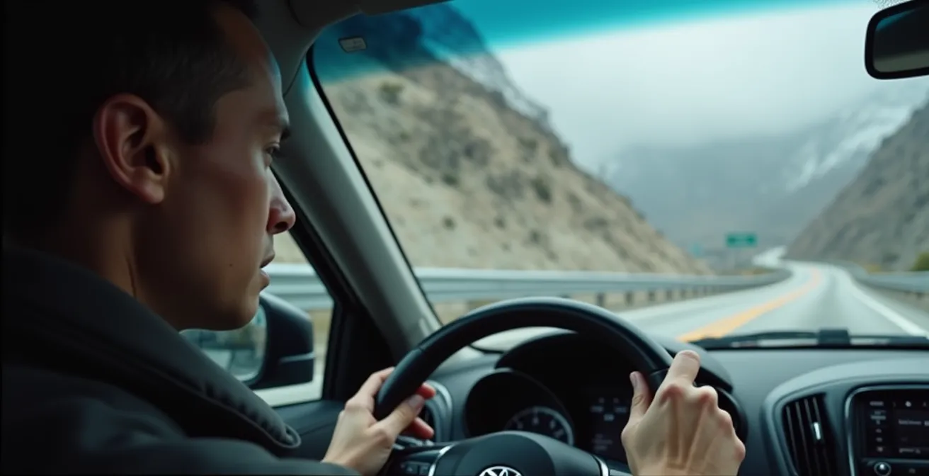
In British Columbia, particularly on the Coquihalla or through Rogers Pass, the threats are obvious and immediate. You’re dealing with steep grades that require engine braking to avoid burning out your brakes, runaway lanes for out-of-control trucks, and sudden, catastrophic weather changes. As National Geographic points out, the West Coast is subject to unique weather phenomena like the “Pineapple Express.”
The Coquihalla Highway through BC requires understanding specific weather patterns like the ‘Pineapple Express’ – warm Pacific air that causes massive, rapid snow dumps leading to sudden closures.
– National Geographic Travel, Ultimate Trans-Canadian Highway Road Trip Guide
The Maritimes, by contrast, wear you down. The roads are narrower, the hills are rolling but constant, and frost heaves create unexpected jolts. The biggest danger is the dense sea fog, or “sea smoke,” which can appear without warning and reduce visibility to zero in seconds. Driving the Cabot Trail isn’t about managing steep grades; it’s about maintaining rhythm and concentration for hours of winding curves. It tests your stamina, not your nerve in the same way a mountain pass does.
| Aspect | East Coast (Maritimes) | West Coast (BC Rockies) |
|---|---|---|
| Primary Challenge | Maritime Endurance – rolling hills, frost heaves | Rocky Mountain Precision – steep grades, sudden weather |
| Road Features | Narrow, winding coastal roads | Runaway lanes, mountain switchbacks |
| Weather Hazards | Dense sea smoke fog banks | Snow avalanche zones, Pineapple Express storms |
| Wildlife Risks | Single tall moose crossing | Herds of bighorn sheep, elk on roads |
| Required Skills | Rhythm, stamina for long curves | Engine braking, grade management |
The moose collision risk that locals know but tourists ignore
A deer strike will ruin your car. A moose strike will kill you. This is not an exaggeration; it’s physics. A deer’s center of mass is low, and they typically get thrown clear of the vehicle. A moose, however, has long, spindly legs. Your car’s bumper takes out its legs, and its entire body, weighing up to 500 kilograms, comes crashing through your windshield at head height. Hitting a moose is like having a small car dropped on your roof. This is why moose collisions are uniquely dangerous and a top-tier threat, especially on Highway 17 in Northern Ontario and in the designated “Moose Zones” of Newfoundland.
Tourists make two critical errors. First, they think moose are only a risk at dawn and dusk. Wrong. In marshy areas, they can be on the road at high noon. Second, and most fatally, they don’t know the “Second Moose Rule.” As the Ontario Provincial Police often report, a driver will see a moose cross the road, breathe a sigh of relief, and accelerate—right into the second moose. Moose, especially cows with calves or mates during the rut, often travel in pairs. The second one is often just a few seconds behind the first.
The only winning move is avoidance. This means constant vigilance. Scan the shoulders of the road, looking for large, dark shapes in the tree line. If you see one moose, you must immediately slow down and assume there is another one coming. Don’t swerve. Brake hard in a straight line if you must, but swerving at highway speed often leads to a worse outcome. Your job is to buy yourself reaction time by expecting them to be there.
When to drive the Coquihalla to avoid the worst winter closures?
Driving the Coquihalla Highway (Highway 5) in winter is a calculated risk, period. This isn’t a road you “try out”; you approach it with a specific operational plan or you stay in Hope or Merritt until it clears. The conditions can change from clear and sunny to a full whiteout in less than 30 minutes. The key to a safe passage isn’t having a big 4×4; it’s about strategic timing and interpreting the data available to you. As safety reports confirm, the TCH through the Rockies can close multiple times each winter due to avalanche control or accidents.
Your single most important tool is DriveBC.ca. Don’t just check the road status; study the webcams. Look at the snowplow convoy patterns. Are they running frequently? Is snow accumulating on the road right after they pass? That’s a sign conditions are deteriorating fast. Another critical signal is the “chain-up in effect” notice at Box Canyon. Even if you have winter tires, this is the highway’s way of telling you things are getting serious.
Timing your transit is everything. Avoid the mass exodus from Vancouver on Friday afternoons and the rush to get back on Sunday evenings at all costs. These are peak times for accidents and closures. Your ideal window is mid-day on a weekday, roughly between 10 AM and 2 PM. This gives the morning plow crews time to clear the overnight snow, and gets you through the highest elevations before the late afternoon temperature drop. Most importantly, monitor the weather for any mention of a “Pineapple Express” up to 48 hours in advance. If you see that in the forecast, change your plans. It’s not worth the risk.
Why does your GPS fail you in 80% of the Canadian backcountry?
In the city, your GPS is your best friend. In the Canadian backcountry, it’s a pathological liar. Relying solely on Google Maps or Waze in Northern Ontario or remote parts of the Prairies is one of the fastest ways to get stranded. The problem is twofold: vast cellular dead zones and outdated data. Along the northern shore of Lake Superior, you’ll find massive “Digital Ghost Zones” with zero cell service from any provider. Your live map will freeze, and you’ll be driving blind.
Even worse is when your GPS *thinks* it knows the way. The data for these remote areas is rarely updated. Travelers constantly report that Google Maps confidently directs them to gas stations and motels that have been boarded up for a decade. It shows a full-service town where all that’s left is a collapsing barn. The 220-kilometer stretch between Nipigon and Hearst, for example, is notorious for its lack of services, but your phone might still show phantom businesses along the route.
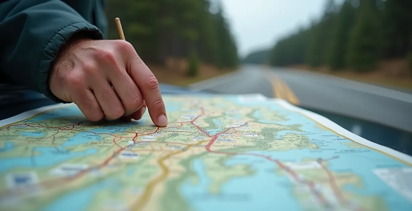
This is where analog reliability trumps digital convenience. You absolutely must have a non-digital backup. The gold standard for Canadian backroads is a current-year edition of the Backroad Mapbooks. It’s a physical book that shows every logging road, every small creek, and, most importantly, provides verified information on services. You should also pre-download offline maps using an app like Organic Maps before you lose your signal. A dedicated satellite messenger like a Garmin inReach or SPOT is a smart investment if you plan to be truly remote, allowing you to call for help when your phone is just a useless brick.
Your Backcountry Navigation & Comms Audit
- Download the entire route on an offline-capable app like Organic Maps before leaving home.
- Use the GasBuddy app while you have signal to check user-reported hours for small-town stations.
- Install the official provincial road apps (DriveBC, 511 Ontario, Québec 511) for the most accurate closure info.
- Purchase a prepaid SIM card from Bell or Telus; their rural network coverage is vastly superior to Rogers.
- For true peace of mind, carry a satellite messenger like a Garmin inReach or SPOT for emergency communication.
The storage mistake that melts your cheese haul in a hot car trunk
This seems trivial until your $50 of artisanal Quebec cheese curds have melted into a greasy soup in your trunk. Managing food and perishables on a multi-day trip in a hot car is another logistical challenge, especially across the prairies in summer. The sun beating down on your car’s dark metal roof creates an oven. It’s not uncommon to see over 60°C temperatures in dark-colored trunks, a condition that will destroy groceries, electronics, and medication in a hurry.
The solution is a tiered cooler system, a concept familiar to anyone who shops at Canadian Tire. A cheap styrofoam cooler is useless for anything more than a few hours. A standard Coleman or Igloo cooler will get you through a day. But for a multi-day haul across the country, you need to invest in a rotomolded cooler like a Yeti or a Canadian-made Chilly Moose. These are designed to hold ice for days, not hours, acting as a portable refrigerator.
The pro tip is to use large, solid blocks of ice instead of cubes. The best method is to freeze several 4-litre water jugs. These “thermal batteries” melt incredibly slowly, keeping the cooler’s contents cold for days and providing you with emergency drinking water when they finally thaw. And if you’re buying fresh cheese curds in Quebec, the rule is simple: they lose their signature “squeak” when they get warm. Those go directly from the fromagerie into the high-performance cooler. No exceptions.
Key Takeaways
- The Half-Tank Rule is Law: In Northern Ontario and the Prairies, never pass a gas station with less than half a tank. It’s your primary defense against 200km service gaps.
- Digital Ghost Zones are Real: Your GPS will fail. Cell service will disappear. You must have analog backups like a current Backroad Mapbook and pre-downloaded offline maps.
- Adopt a Logistical Headspace: Treat the drive like an operation. Constantly manage fuel, fatigue, weather, and wildlife risks. This isn’t a passive vacation; it’s an active engagement with the environment.
How to drive across Saskatchewan’s prairies without succumbing to boredom?
After mastering the physical logistics, you face the psychological one: the profound, soul-crushing boredom of driving across the prairies. This is the final boss of the cross-Canada trip. You can’t just power through it; you need an active engagement strategy to keep from going stir-crazy and falling prey to the highway hypnosis we discussed earlier.
The rookie mistake is to stay glued to the TCH. The real secret is the “Small Town Detour” strategy. Plan to stop for 10-15 minutes in the small towns that are just a few kilometers off the main highway. These aren’t long stops; they are quick surgical strikes to break the monotony. Stop in Wolseley for its famous bakery, see the 32-foot-tall moose statue in Moose Jaw, or visit the historic Bell Barn in Indian Head. These micro-destinations give your brain a new set of inputs and turn the “boring” part of the drive into a series of quirky discoveries.
You also need to curate your in-car entertainment. A random playlist won’t cut it. Build a “Made-for-the-Prairies” playlist that matches the landscape—think The Tragically Hip, Colter Wall, The Sheepdogs. Even better, switch to engaging podcasts or audiobooks that require active listening. Turn the drive itself into a game. A “Roadside Attraction Bingo” with categories like giant animals, classic grain elevators, or historical markers can keep everyone in the car engaged. Or time your drive to witness one of the dramatic prairie thunderstorms in the summer—a spectacle that is anything but boring.
Ultimately, driving across Canada is a test of foresight and respect. Respect for the distance, for the weather, and for the sheer emptiness. By adopting a logistical mindset and preparing for the worst-case scenario, you earn the right to enjoy the best of it. Plan your fuel like your life depends on it, pack for environmental warfare, and always, always know where you are on a real map.